Altmühltalradweg-komplett - Day 3
● Trekking point-to-pointnear Treuchtlingen, DE·shared by @mariusquast
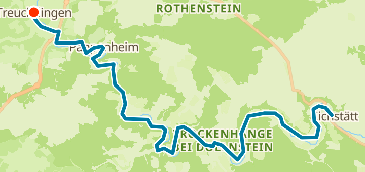
43 km149 mPoint-to-point
43 km
Distance
149 m
Elevation gain
0
Waypoints
Trekking
Surface
With VeloPin Pro your waypoints arrive with the right icons and your notes on a Garmin, Wahoo, COROS or Karoo, instead of as nameless dots.
Just download the route track (.gpx)About this route
Diese Trekking-Tour verläuft von Treuchtlingen nach Eichstätt. Die Strecke ist 43 km lang und hat insgesamt 149 m Anstieg, wobei sie überwiegend flach ist.
Elevation profile
↑ 149 m total climb
At a glance
- TerrainMostly flat — 149 m / 43 km
- ShapePoint-to-point
- Best forTrekking