Der Ötztaler Radmarathon
● Road loop·shared by @bastian
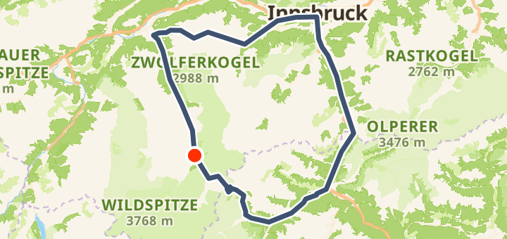
228 km5,300 mLoop
228 km
Distance
5,300 m
Elevation gain
0
Waypoints
Road
Surface
With VeloPin Pro your waypoints arrive with the right icons and your notes on a Garmin, Wahoo, COROS or Karoo, instead of as nameless dots.
Just download the route track (.gpx)About this route
Der Ötztaler Radmarathon ist nicht einfach nur eine Ausfahrt, er ist die Königsdisziplin der Alpen für Hobby-Radsportler. Auf dieser epischen Runde warten brutale Anstiege, rasante Abfahrten und atemberaubende Alpenpanoramen auf dich. Egal ob im Rahmen des offiziellen Rennens oder als privates Abenteuer: Diese Route verlangt dir alles ab, gibt dir aber am Ende das unvergleichliche Gefühl, einen echten Mythos bezwungen zu haben.
Elevation profile
↑ 5,300 m total climb
At a glance
- TerrainHilly — 5,300 m / 228 km
- ShapeLoop
- Best forRoad
Surface mix
Asphalt / Paved 98% · 223.4 kmUnknown 2% · 4.6 km
More community routes
Gardasee-Rundtour (im Uhrzeigersinn)
road loop · 142 km · 2,203 m
MUC Flughafen loop
road loop · 109 km · 253 m
Postalmstraße – Postalm Panoramastraße Runde von Faistenau
road loop · 104 km · 1,668 m
Ötztaler Gletscherstraße
road point-to-point · 13 km · 1,262 m
Stelvio
road loop · 65 km · 1,928 m
Furka Pass
road loop · 105 km · 3,422 m