Altmühltalradweg-Kurz-Route
● punto a puntocerca de Treuchtlingen, DE·compartida por @mariusquast
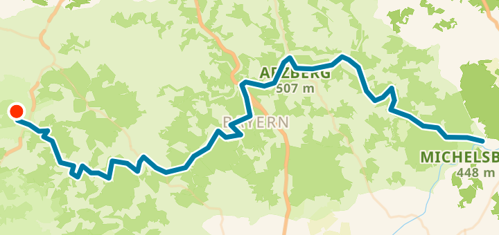
135 km421 mPunto a punto
135 km
Distancia
421 m
Desnivel
0
Puntos
Superficie
Con VeloPin Pro tus puntos llegan con los iconos y las notas correctos a tu Garmin, Wahoo, COROS o Karoo, en vez de como puntos sin nombre.
Solo descargar el track (.gpx)Sobre esta ruta
Der landschaftlich schönste Teil des Altmühltalradwegs in kompakter Form. Diese Route verbindet die bekanntesten Highlights wie Pappenheim, die Zwölf Apostel, Burg Prunn und Essing und eignet sich ideal für zwei bis drei Tage.
Perfil de altitud
↑ 421 m desnivel total
De un vistazo
- TerrenoCasi llano — 421 m / 135 km
- TipoPunto a punto
- Ideal para