Altmühltalradweg-Kurz-Route
● point-to-pointnear Treuchtlingen, DE·shared by @mariusquast
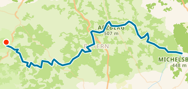
135 km421 mPoint-to-point
135 km
Distance
421 m
Elevation gain
0
Waypoints
Surface
With VeloPin Pro your waypoints arrive with the right icons and your notes on a Garmin, Wahoo, COROS or Karoo, instead of as nameless dots.
Just download the route track (.gpx)About this route
Der landschaftlich schönste Teil des Altmühltalradwegs in kompakter Form. Diese Route verbindet die bekanntesten Highlights wie Pappenheim, die Zwölf Apostel, Burg Prunn und Essing und eignet sich ideal für zwei bis drei Tage.
Elevation profile
↑ 421 m total climb
At a glance
- TerrainMostly flat — 421 m / 135 km
- ShapePoint-to-point
- Best for